Hawkeye 1000 Series...
The Hawkeye 1000 range is the result of ARRB’s extensive research into pavement and asset management.
The economic benefits of the 1000 Series and fit for purpose specifications make it an ideal solution for both video and road profiling applications. Most importantly, the 1000 Series is fully compatible with other Hawkeye products, enabling full data integration across the entire range.
Our advanced research and development program ensures we provide our clients the best products, utilising the latest research and technologies.
Collecting accurate, time stamped data is assured in Hawkeye through the use of our innovative development, Heartbeat. The Heartbeat module ensures that all data is accurately linked to a primary key and allows for the integration of current and future data acquisition modules, meaning seamless upgrades of your equipment.
H1000 Digital Laser Profiler...
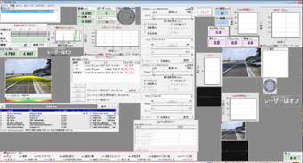
The H1000 Digital Laser Profiler (DLP) measures longitudinal profile, roughness and macrotexture (MPD and SMTD).
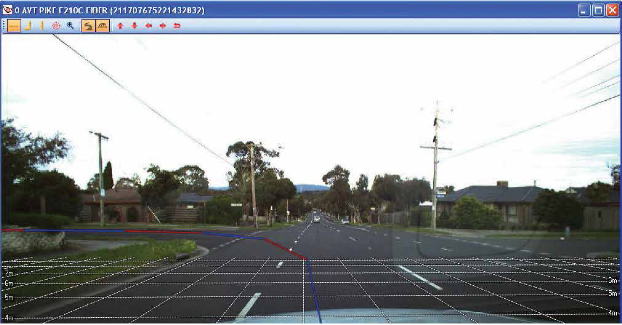
A World Bank Class 1 profiler, the H1000 DLP measures road profile using accelerometers and precision laser sensors, to compensate for vehicle body movement.
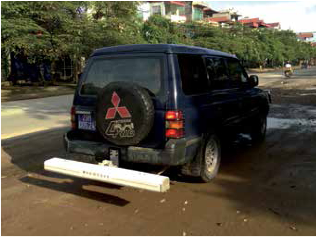
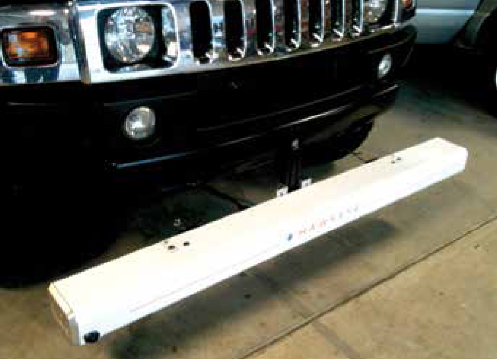
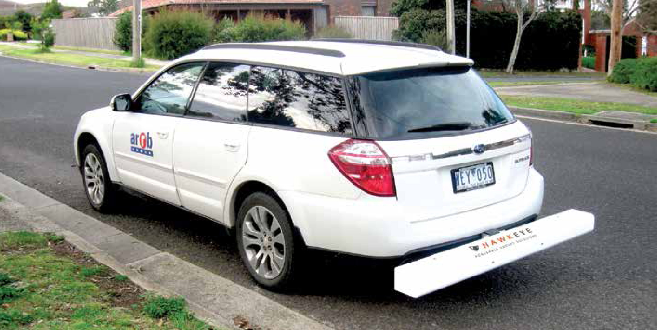
The DLP is completely portable , utilising a detachable beam that comes complete with a tow-bar mounting kit, making it perfect for less frequent survey demands.
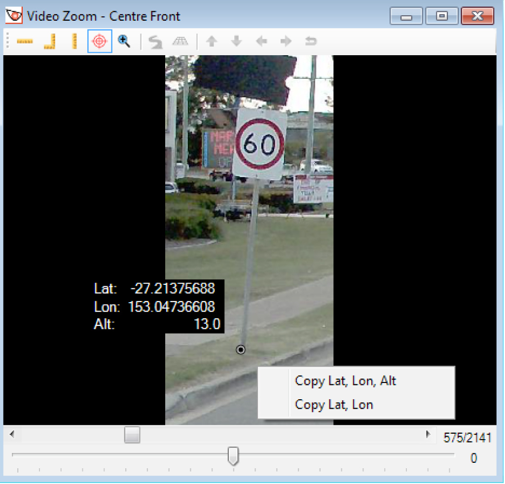
An accurate Distance Measuring Instrument (DMI) and the Heartbeat module are used to precisely link the data to distance measurements.
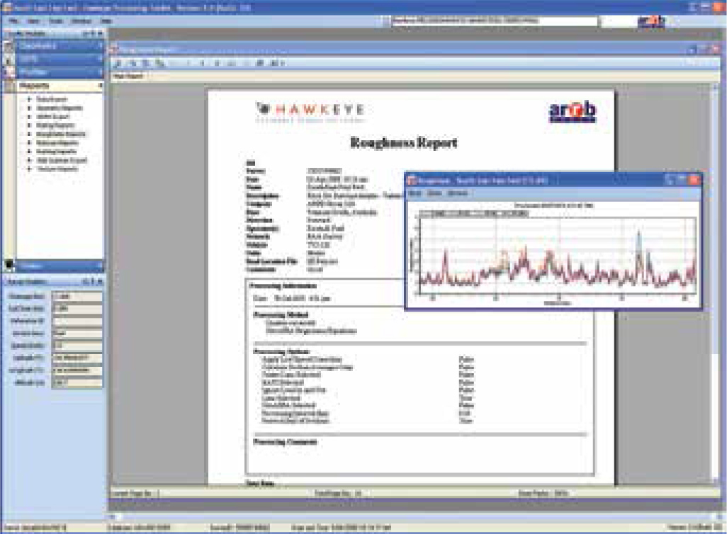
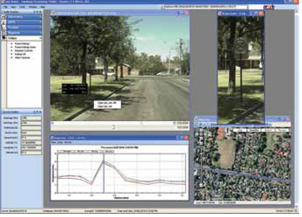
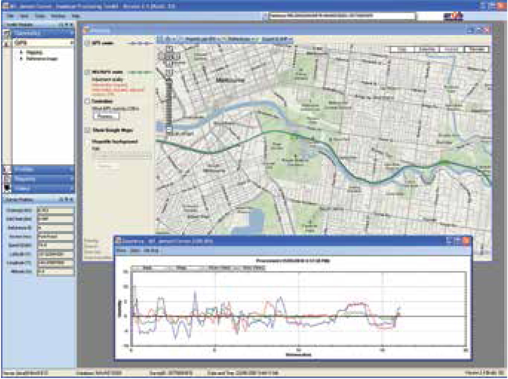
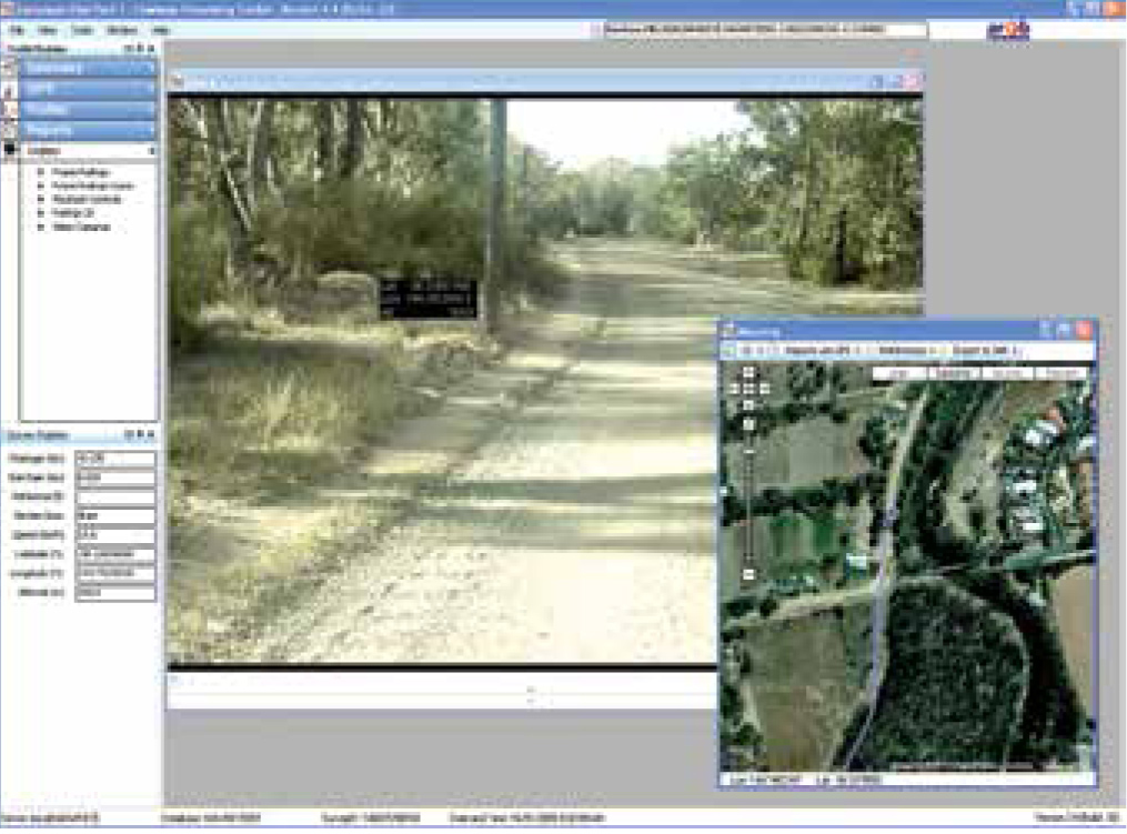
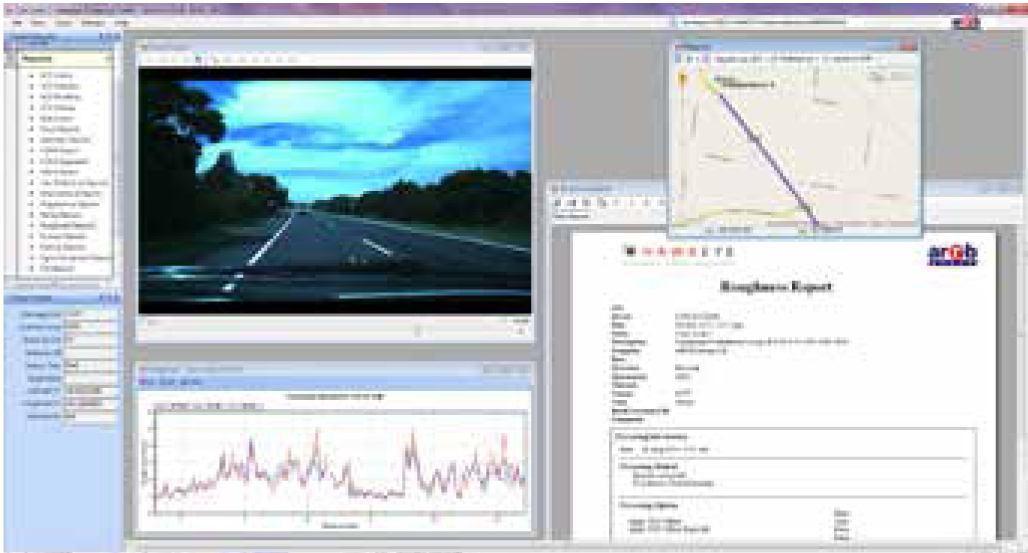
Used in conjunction with the Hawkeye Processing Toolkit, you have the ability to produce tables, graphs, reports and exports from your collected data.
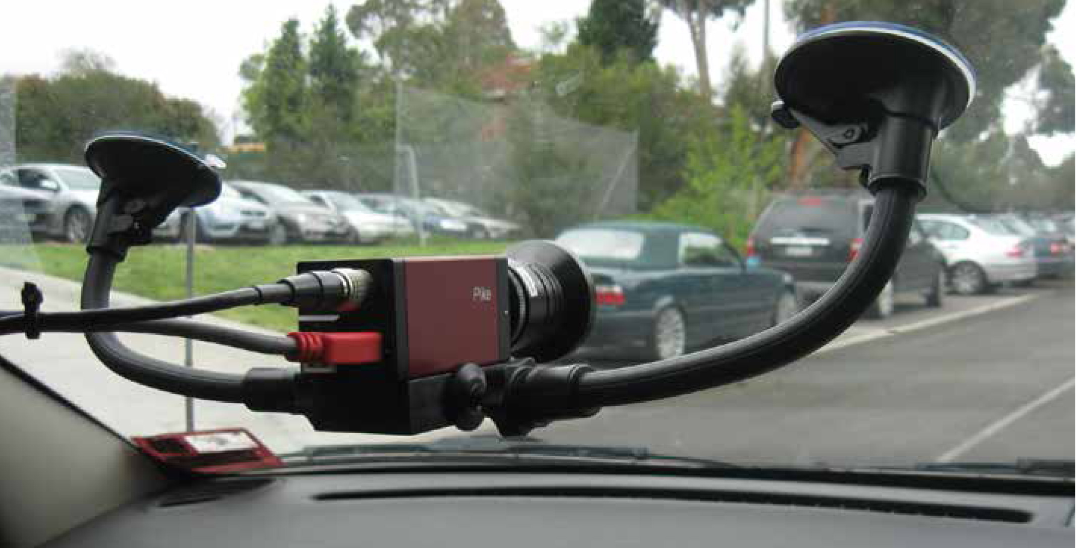
The H1000 DLP is capable of supporting up to two digital imaging cameras, DGPS and a Gipsi-Trac Geometry system.
Features...
- World Bank Class 1 profiler with a choice of one, two or three laser combinations to suit all budgets
- Simple turnkey operation
- Can be easily shipped for remote survey requirements and short-term vehicle installations
- Easily installed on a vehicle without special tools or technical personnel
- Lightweight aluminium beam with external weatherproof housing
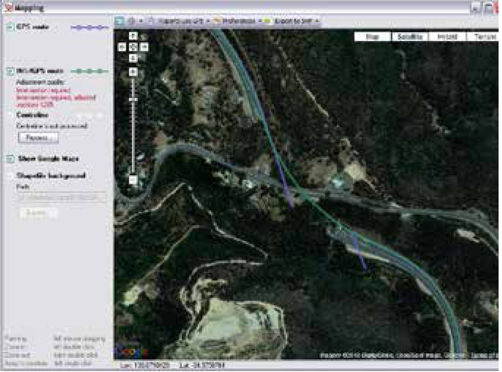
- Data is linked to chainage and GPS coordinates
- Operational at highway speeds to reduce survey time and costs
- Results are independent of vehicle type
Applications...
- Pavement condition assessment
- Accurate quality assessments
- Quality control
- Contract validation
Available outputs...
- Longitudinal profile
- Roughness (IRI, NAASRA, Ride Number, HATI)
- Macrotexture (MPD and SMTD)
- Rit index
- GPS location / distance
Compliance with standards...
- ASTM E950: Longitudinal profile
- AASHTO PP37: Pavement roughness
- ASTM E1845: Pavement macrotexture
- ISO 13473: Mean Profile Depth (MPD)